Water Quality in Contra Costa County
San Pablo Creek
Creek Description
San Pablo Creek runs from the City of Orinda, through East Bay Municipal Utility District lands, the Cities of Richmond and San Pablo and the community of El Sobrante, before it enters the saltwater marshes adjacent to the San Francisco Bay. 90% of its 20 miles are natural, with no obvious reinforcements or concrete channel. Much of its watershed (the land that drains to the creek) is parkland, with only 20% covered by impervious surfaces such as roads and houses.

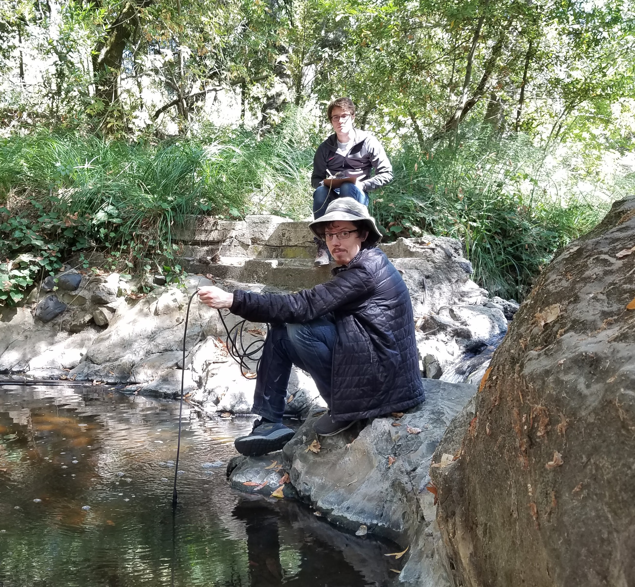
TWP Site
Creek Report Card
| Dissolved Oxygen | Good |
| pH | Good |
| Specific Conductivity | Bad |
| Temperature | Good |
| Turbidity | Marginal |
Explore Sampling Sites
Select Site
Explore Other Creeks
San Pablo Creek
Copyright © 2020 The Watershed Project · App Created by FlowWest and Intelligent Ecosystems Institute